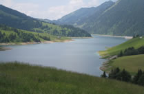
Area of land supplied with irrigation water from a particular reservoir, canal or diversion.
The irrigation command area defines the extent and cropping pattern of land that depends on a given water resource scheme. Demand patterns from each command area are represented in water resource models so that shortages, cropping losses and the benefits of improved regulation or storage can be assessed.